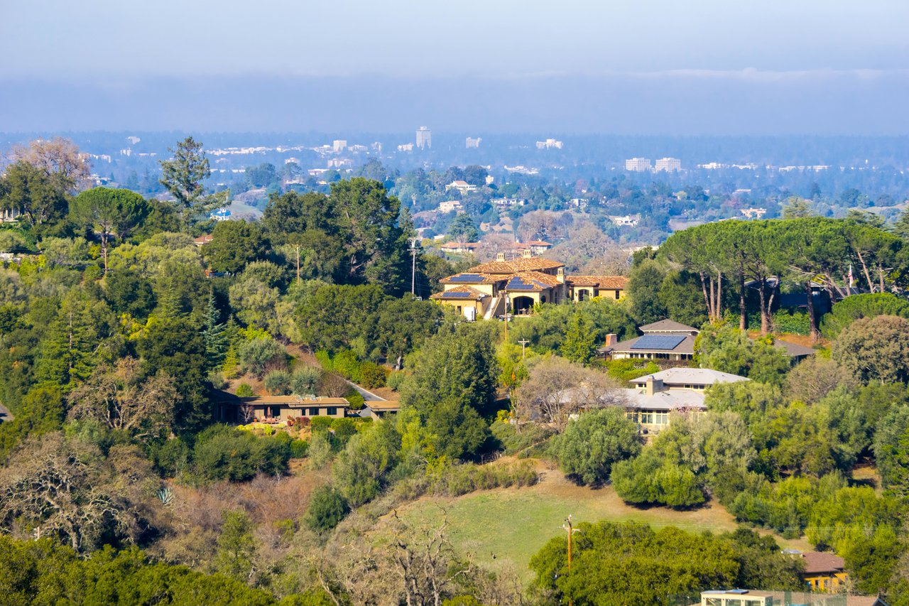
A scenic, quiet Silicon Valley community with the feel of a small village.
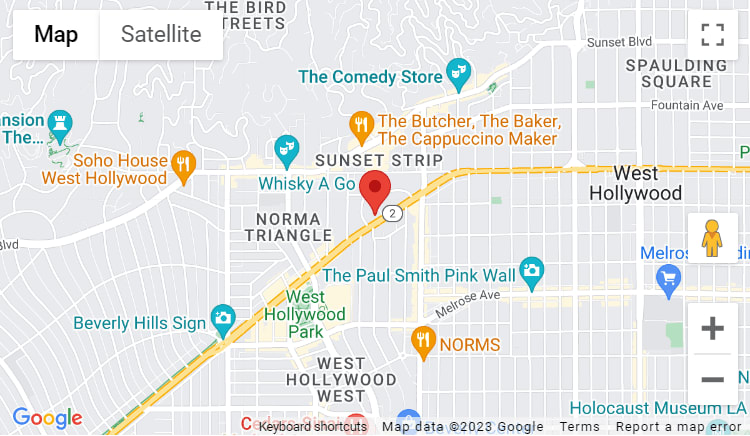
Los Altos is a tree-lined residential community in the heart of Silicon Valley, built around a walkable downtown village with nearly 150 independent shops and restaurants packed into a compact six-block stretch.
Los Altos offers a near-perfect balance of rural and urban living. Most homes were built in the 1950s and '60s as traditional ranch-style residences, though many have been remodeled, expanded, or rebuilt as modern custom homes. The community-oriented atmosphere, heavily shaded streets, and walkable scale give the city a peaceful, homey feel that has held up remarkably well even as Silicon Valley has grown around it.
43,666 people live in Los Altos, where the median age is 48 and the average individual income is $147,694.575. Data provided by the U.S. Census Bureau.
Total Population
Median Age
Population Density Population Density This is the number of people per square mile in a neighborhood.
Average individual Income
There's plenty to do around Los Altos, including shopping, dining, nightlife, parks, and more. Data provided by Walk Score and Yelp.
Explore popular things to do in the area, including Fit4Life Athletics, MohamedXFit, and Glowbyglory.
| Name | Category | Distance | Reviews |
Ratings by
Yelp
|
|---|---|---|---|---|
| Active | 3.16 miles | 8 reviews | 5/5 stars | |
| Active | 4.51 miles | 5 reviews | 5/5 stars | |
| Beauty | 4.93 miles | 5 reviews | 5/5 stars | |
| Beauty | 4.95 miles | 10 reviews | 5/5 stars | |
| Beauty | 1.71 miles | 5 reviews | 5/5 stars | |
| Beauty | 1.74 miles | 5 reviews | 5/5 stars | |
|
|
||||
|
|
||||
|
|
||||
|
|
||||
|
|
||||
|
|
Los Altos has 15,284 households, with an average household size of 5.64. Data provided by the U.S. Census Bureau. Here’s what the people living in Los Altos do for work — and how long it takes them to get there. Data provided by the U.S. Census Bureau. 43,666 people call Los Altos home. The population density is 2,068.836 and the largest age group is Data provided by the U.S. Census Bureau.
Total Population
Population Density Population Density This is the number of people per square mile in a neighborhood.
Median Age
Men vs Women
Population by Age Group
0-9 Years
10-17 Years
18-24 Years
25-64 Years
65-74 Years
75+ Years
Education Level
Total Households
Average Household Size
Average individual Income
Households with Children
With Children:
Without Children:
Marital Status
Blue vs White Collar Workers
Blue Collar:
White Collar:
This is an important financial decision. I have the experience, knowledge and heart to help you make the right moves. We will seamlessly handle your transaction, and educate you along the way.
ContactCompass
270 3rd St Los Altos, CA 94022